Well, I made it back to the Pinhoti Trail. Suspenders is shuttling me around to finish the last 80-ish miles. I am breaking it up into two sections instead of continuing on with my daily updates since I am now slackpacking each day.
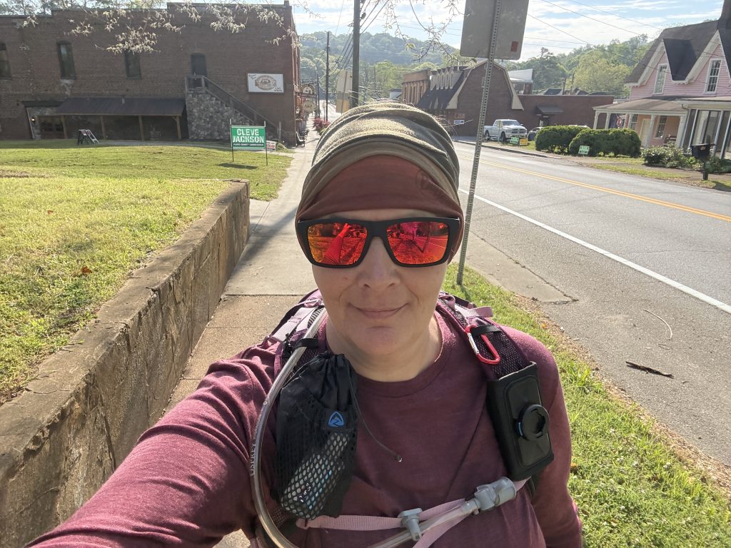
I began my road walk from Cave Springs despite warnings from the locals and other past hikers to skip the roads and shuttle around. I quickly found out why this was suggested. Aggressive dogs, fast-moving cars, and 18-wheelers were all hazards on these 20-ish miles, and only some sections had shoulders. Additionally, there was the exposure to the blaring sun on the pavement (yes, I forgot my trekking umbrella at home).
I eventually gave up after a couple of near misses and figured I had road-walked enough of this section to earn that badge of honor. I picked up my hike at Simms Mountain Rail Trail, where I encountered several mountain bikers (all were super nice and courteous).
I was happy to get back into the woods by the time I got to High Point Trialhead. Suspenders decided to join me for the first two miles in order to take a side trail to a fire tower. Turns out there was no side trail =(. Suspenders went back to the truck after about two miles, and I continued onto Mack White Gap.
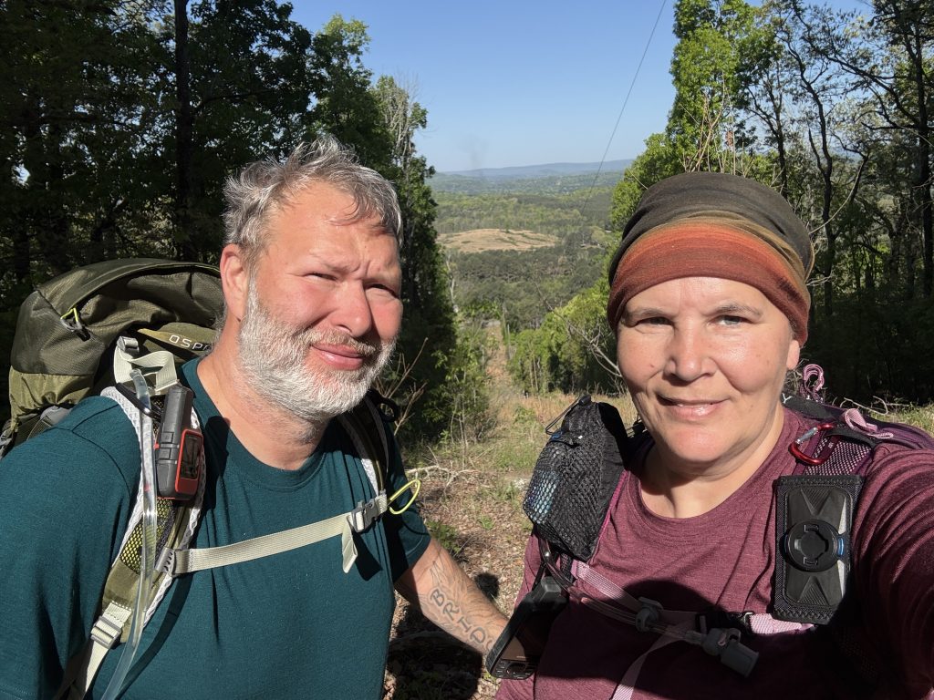
This section of the trail was pretty nice. Suspenders was able to get up Jenkins Gap; I met him there, and we backtracked in the truck to the fire tower. Turns out the Forest Service Road goes all the way to the fire tower; no hike needed, lol. You can imagine how thrilled he was with me to learn he didn’t need to do that 4-mile round-trip hike!
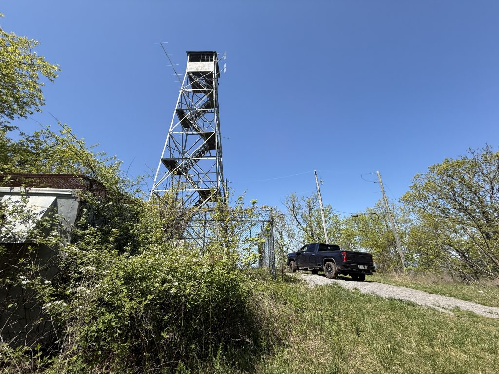
Once we finished looking around, he dropped me back off at Jenkins Gap, and then he continued onto Mac White Gap. He actually meant to take the FS road we were on to Mack White but accidentally took Jenkins Gap again. He wanted me to inform others that Jenkins Gap Rd is ROUGH! You will need high clearance and 4×4. The main Forest Service Road actually wasn’t bad.
The next day I tackled Mack White Gap to West Armuchee Rd. I was basically on an old forest service road that turned into the TransAmerica Trail, which meant more road walking. But it wasn’t horrible, and I did have the opportunity to be on an actual hiking trail for small portions. The end of the day was on pavement, though, and that sucked.
I finished up this section over a couple more days, and the last two days were the best.
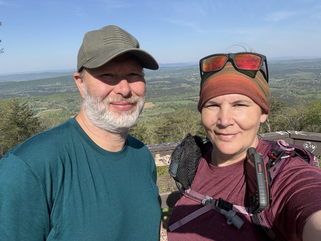
I made it to John’s Mountain Overlook (where I opted to go downhill both ways, thanks to Suspenders). The view from the top was absolutely amazing! Also, super happy to hike down it instead of up it!
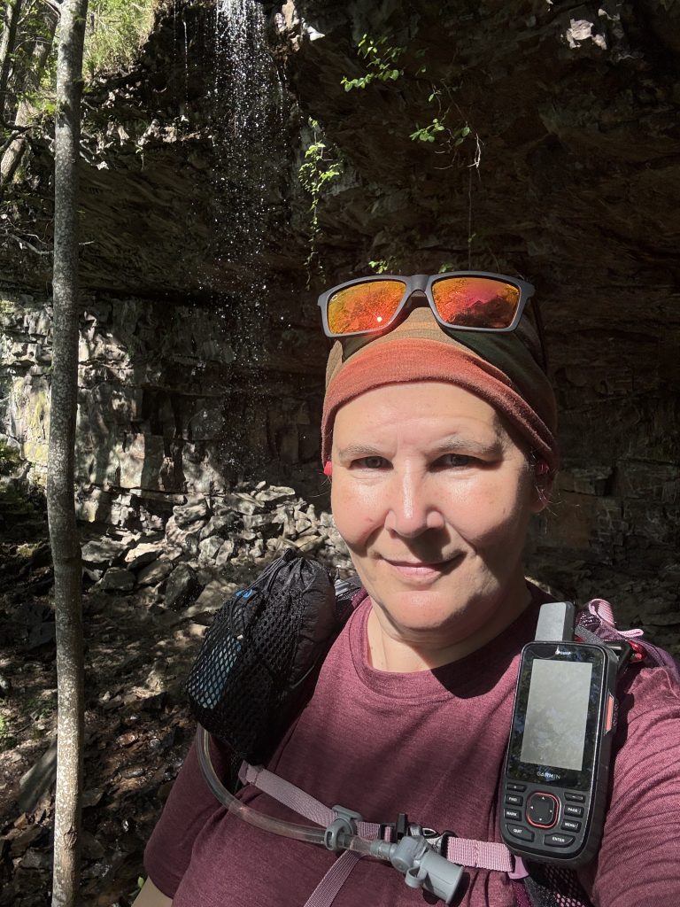
If you opt to take the trail to John’s Mountain Overlook (there is actually an alternate trail before you get to the top that you can take, although you will miss the overlook, view, and a waterfall), you then take the trail past Keown Falls. I may have spent way too long here.
From there I had Suspenders take me to Snake Creek Gap (where we originally got off in Feb of 2025), and I headed SOBO to Pilcher Pond.
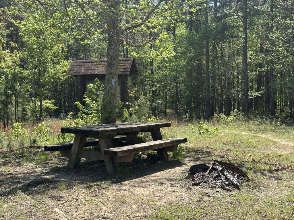
Suspenders ended up hiking in some and met me at a campground before Pilchers Pond (if heading SOBO). It was nice hiking with him for a little bit. The campground area was really nice! Pilchers Pond, however, was really low and somewhat overgrown.
All in all this section was pretty nice; there was more road walking than I’d like, whether it was paved roads or actively used forest service roads, but it was really well maintained for the most part (the poison ivy was a little crazy in areas and could use a weed whacker, lol).


Leave a Comment or Suggestion