NOTE: I am currently in the process of “mapping” the trails and will post an updated trail map here and provide it to the lake office when I have completed it.
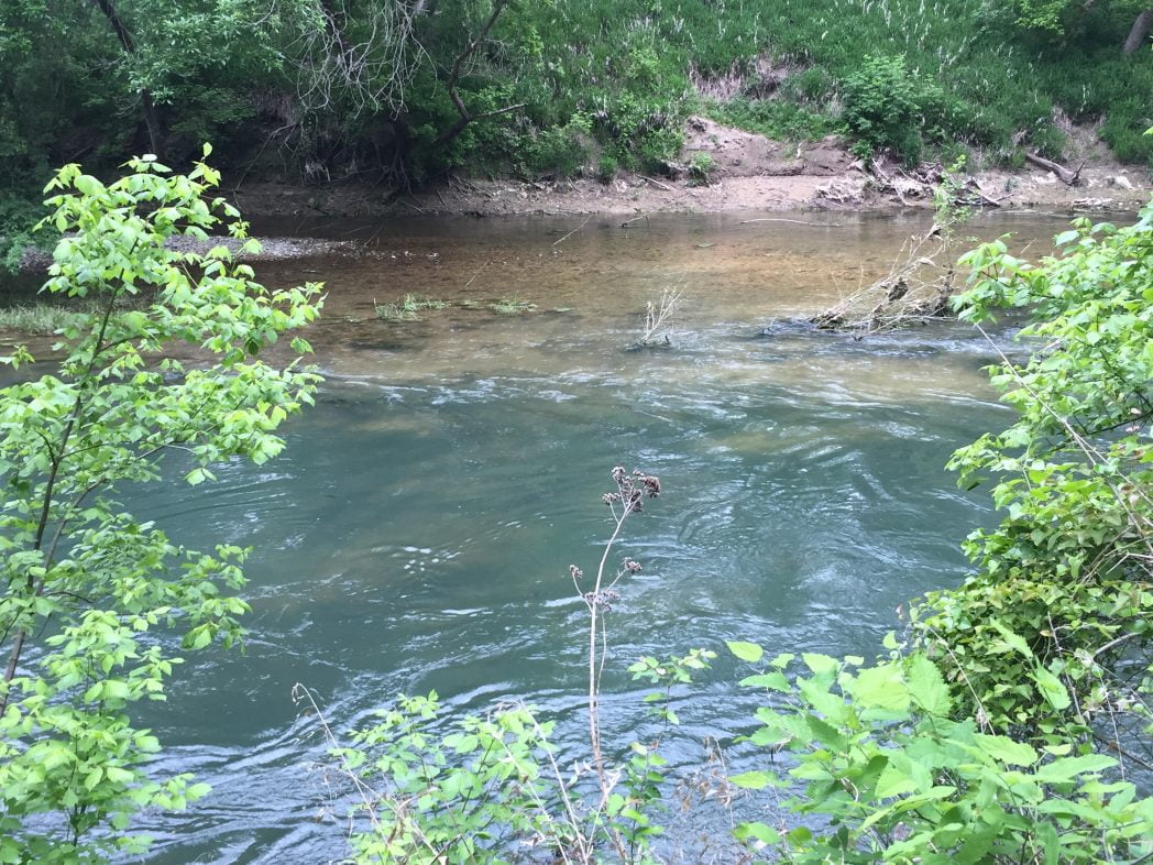
Chalk Ridge Falls in Belton (although it has a Salado address) offers about 5 miles of hiking trails, waterfalls, and plenty of fishing areas. It sits on the Lampasas River on the other side of the dam of Stillhouse Hallow Lake.
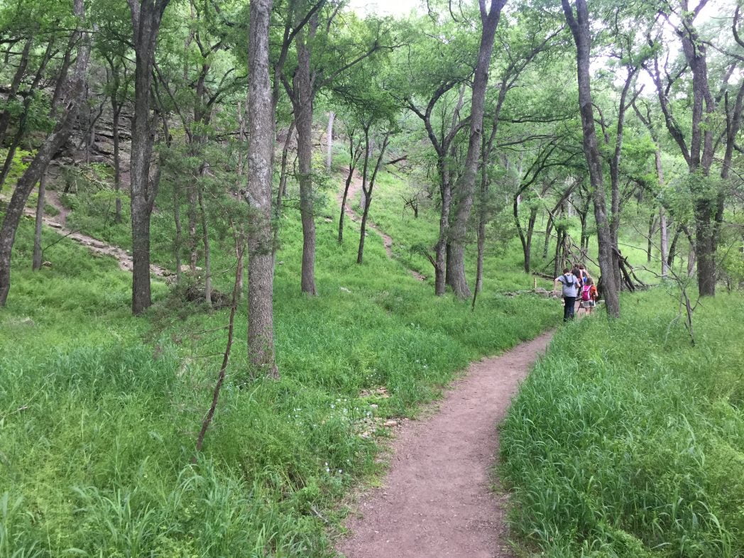
There are two main trails that begin at that parking lot, each one located on opposite sides of the river. You can obtain a map from the lake office up the road.
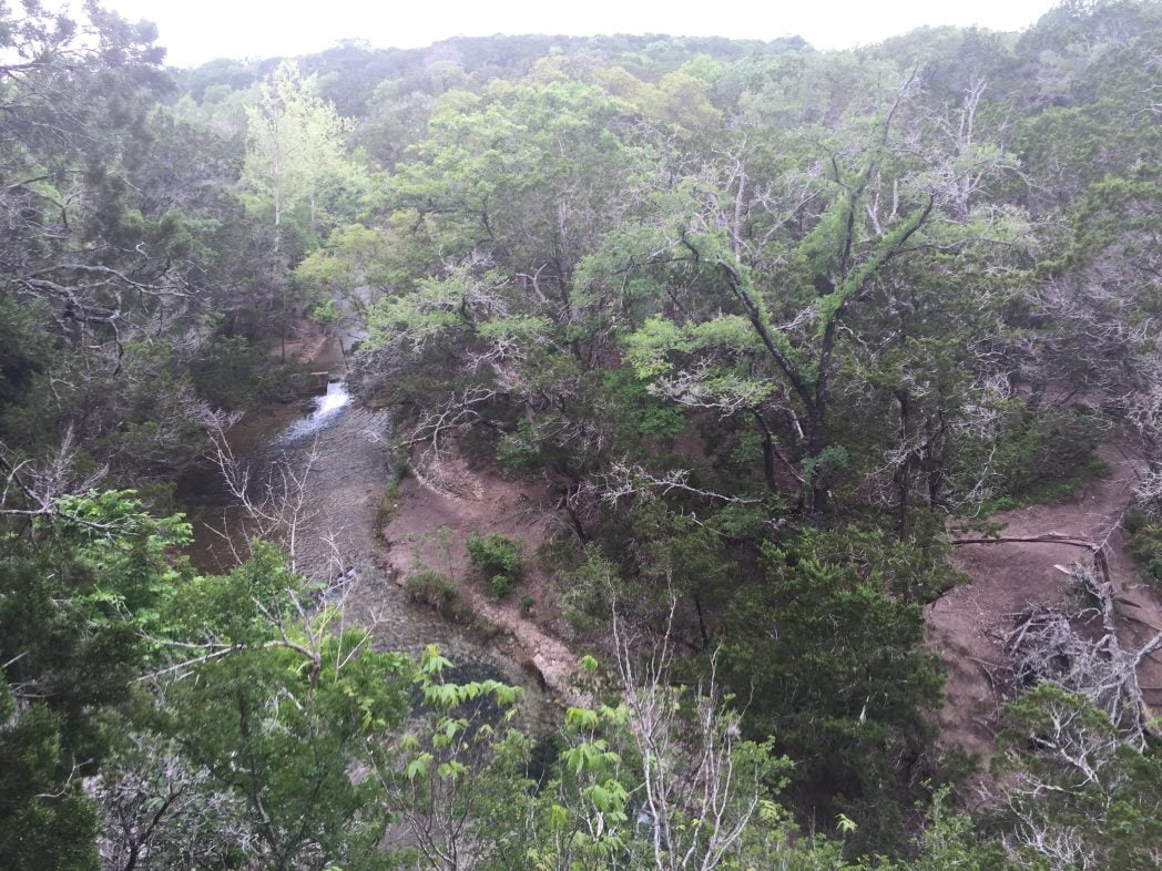
The hiking trails range from easy to advanced and offer some amazing scenic views whether you are on one of the main trails or on one of the more advanced trails in the rocky tree-covered hills within the park.
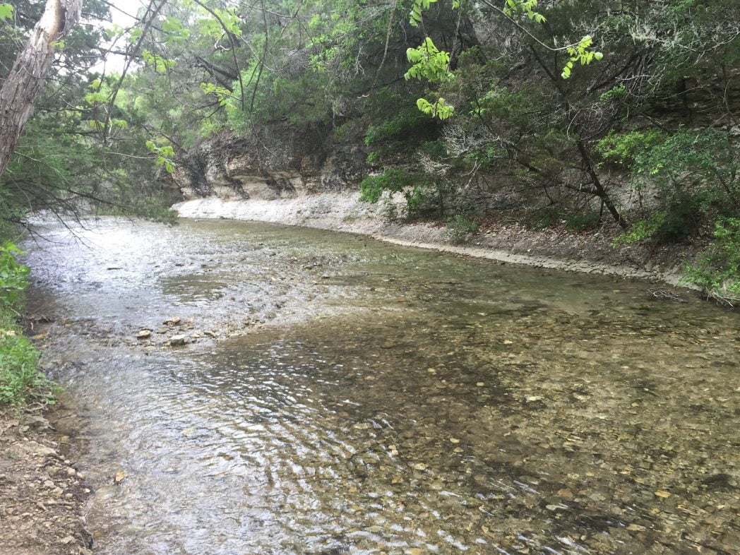
The main trails follow parallel to the Lampasas River for several miles. If you are more adventurous there are several trails that veer off the main trail into more rugged and steep terrain.
Additionally, you can follow the creek bed (assuming the water level is right) near the pond for about a mile upstream. There are stairs that lead down to the creek bed before you cross over the walkway bridge that crosses the creek. There is no definitive trail, so you pretty much will need to make your own. Beware the terrain is rough, wet, and slippery so use caution.
The Main Attraction at Chalk Ridge Falls
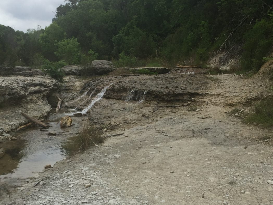
There are several falls within the park situated off the trails that are also worth noting. The most popular one is about a mile hike into the park from the main trail. On a warm day, you will catch people wading in the water at the top of the falls. Extreme caution should be used if you decide to wade out, especially if the water flow rate is high. The water stays pretty cool and makes for a nice refreshing dip after a hike.

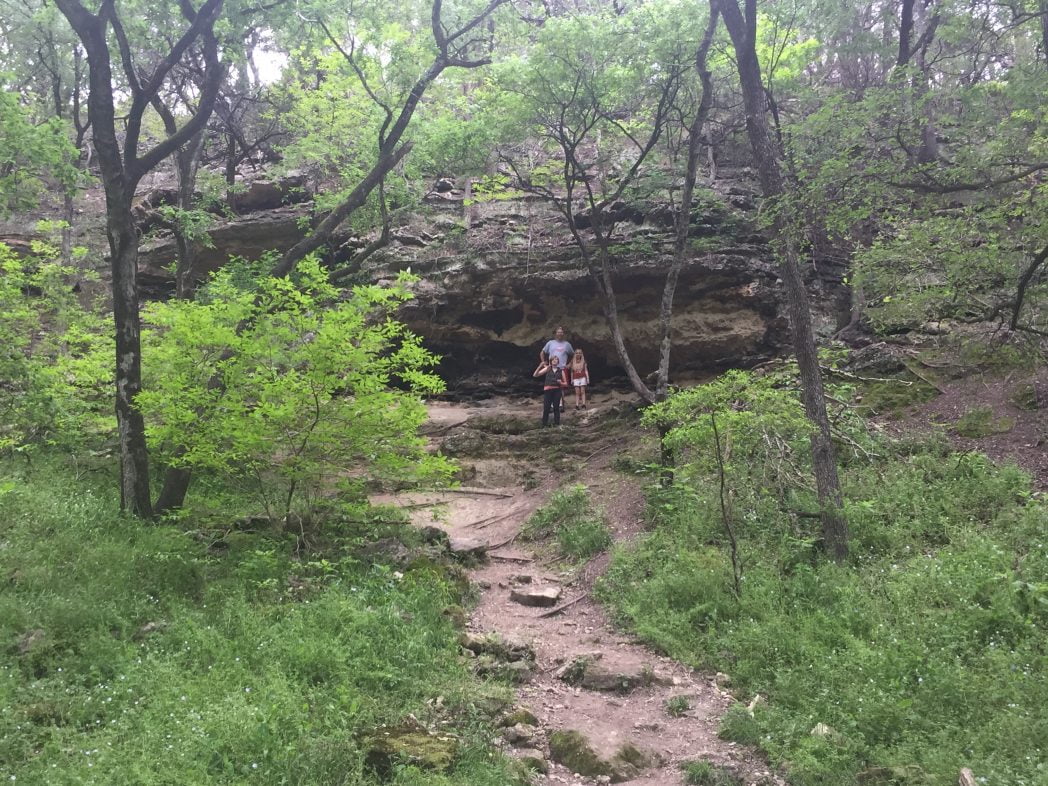
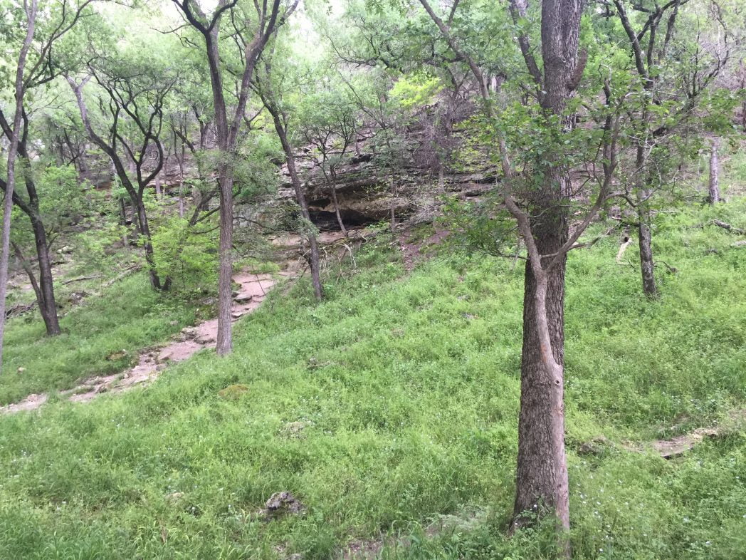
Another point of interest is the small cave that is located towards the last section of the trail and can be easily missed if you are not looking for it. It is not right off the trail and will require some climbing to get to. It will be in the bluff up to your right. The GPS coordinates for the cave are
N 31º 00.885′ W 097º 30.544′
The trail eventually leads into a boy scouts campground as there are no boundary lines. Once you reach the campground, you should turn back.
Getting to Chalk Ridge Falls
Chalk Ridge Falls is just a short drive from Fort Hood.
From Fort Hood: Take 190 East to the FM 1670 / Stillhouse Hallow Dam Exit. Turn Right. The park is after you cross the dam on your left.
From I-35: Take 190 West to the FM 1670 / Stillhouse Hallow Dam Exit. Turn Right. The park is after you cross the dam on your left.
Admission: FREE
Hours: 8am-Sunset
Rules to know:
Pets are allowed and MUST be leashed on a leash 6ft or shorter in length
No Camping
No Firearms
No Bicycles
No Alcoholic Beverages
No Glass Containers
Address: 5600 FM1670, Salado, TX 76571
More Photos

While you are in the area, check out Dana Peak Park as well for more hiking trails.


Leave a Comment or Suggestion