Route 66 Day 1 began with the excitement of spending the entire day in Chicago, ready to explore the historic start of America’s legendary highway. This first day set the perfect tone for the adventure ahead!
Originally the plan was to drive into Chicago, park, walk to everything, then take off. But there was a problem with that plan…
The truck was way too high to park in any of the parking garages, too long to park along the street, and any place that had open parking was too far from where we needed to be. We also didn’t want to risk someone breaking into it because of everything we were carrying.
So we had two choices:
- Immediately start our trip: This would mean just going to the start sign and starting our trip without taking any pictures, visiting the iconic stop, or getting any stamps (if you know me, this was not an option for me) OR
- Stay two nights outside the city: we could stay outside of the city and get an Uber to the city, walk around, then get an Uber back and start the driving portion the next day.
The Night Before
We chose option 2! We stayed at Camp Bullfrog Lake for three nights. Why three nights instead of two? Well…we made this decision while on the road to Chicago to start our trip. I had been stressing over what to do. I had already made a reservation for a single night well in advance for what would have been our first night’s stay on Route 66, as it is in between Chicago and Joliet. This was before I realized we would not be able to park the truck in Chicago.
After trying to find somewhere closer to Chicago to camp or stay for two nights and not finding anything, I checked with Camp Bullfrog Lake, and they had one spot left for two nights, so we took it and prayed we could find an Uber that far from Chicago.
After arriving at the campsite and setting everything up, we scheduled an Uber for the next morning and then headed out on a hike to find a buried nuclear reactor!
Chicago
Our Uber arrived right on time, and off to Chicago we went; it took about 1.5 hours to reach Navy Pier, even though the distance was only 25 miles. The traffic was honestly not that awful. I expected it to be MUCH worse. But I guess, since I’m originally from Dallas, I expect the worst traffic in the world in every big city. Our Uber guy even mentioned how he hates Dallas traffic, as he once lived there too. He agrees that Dallas is WAY worse than Chicago, lol.
Navy Pier
Anyway, we arrived at Navy Pier and wandered around aimlessly for about 10 minutes before I decided to get a plan of attack together. We were just both so happy to finally be there; we forgot where we were supposed to go, LMAO!
The pier at this time of day was oddly empty, and most of the stores were closed. Unfortunately, that meant no stamp from Harry Caray’s or the Route 66 Shop.
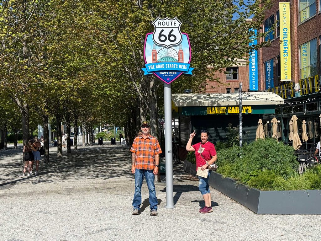
We made our way to the newly installed ‘start’ sign and took a few pictures. I forgot the selfie/tripod, so we had to take individual pictures, and then I combined them into Photoshop. I did try the easy way out and tried using AI, but it kept distorting my features, so I had to do it the old-fashioned way! What do you think?
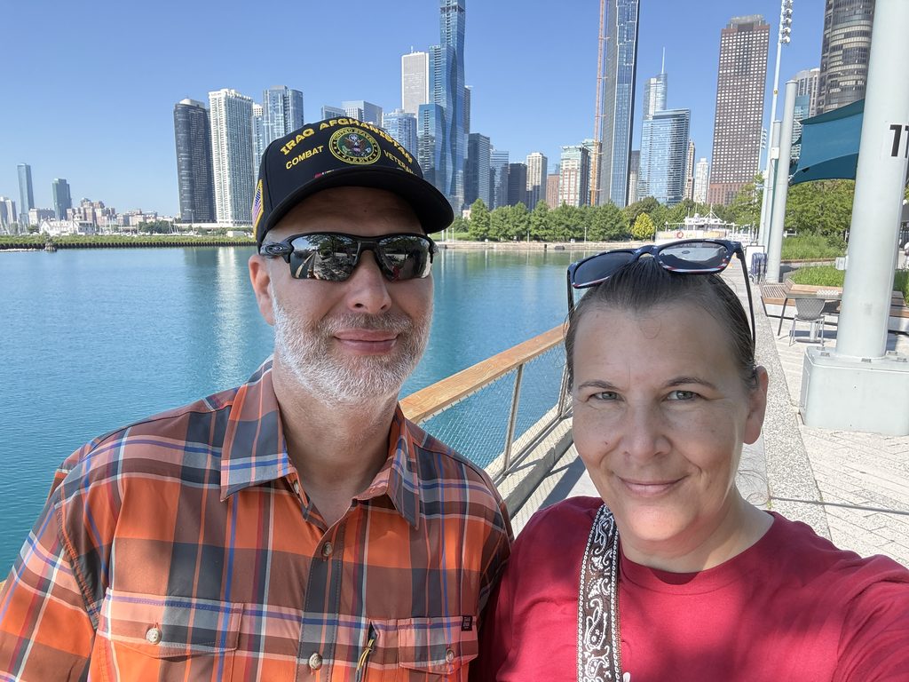
After looking around the pier some more and taking a city skyline picture selfie, we decided it was time to get on the move and make the 1.5-mile trip to the “bean,” aka Cloud Gate.
We crossed the Chicago River on the pedestrian bridge that goes under the freeway, then continued under another road. Confused yet? Chicago apparently has underground roads, lol.
Cloud Gate
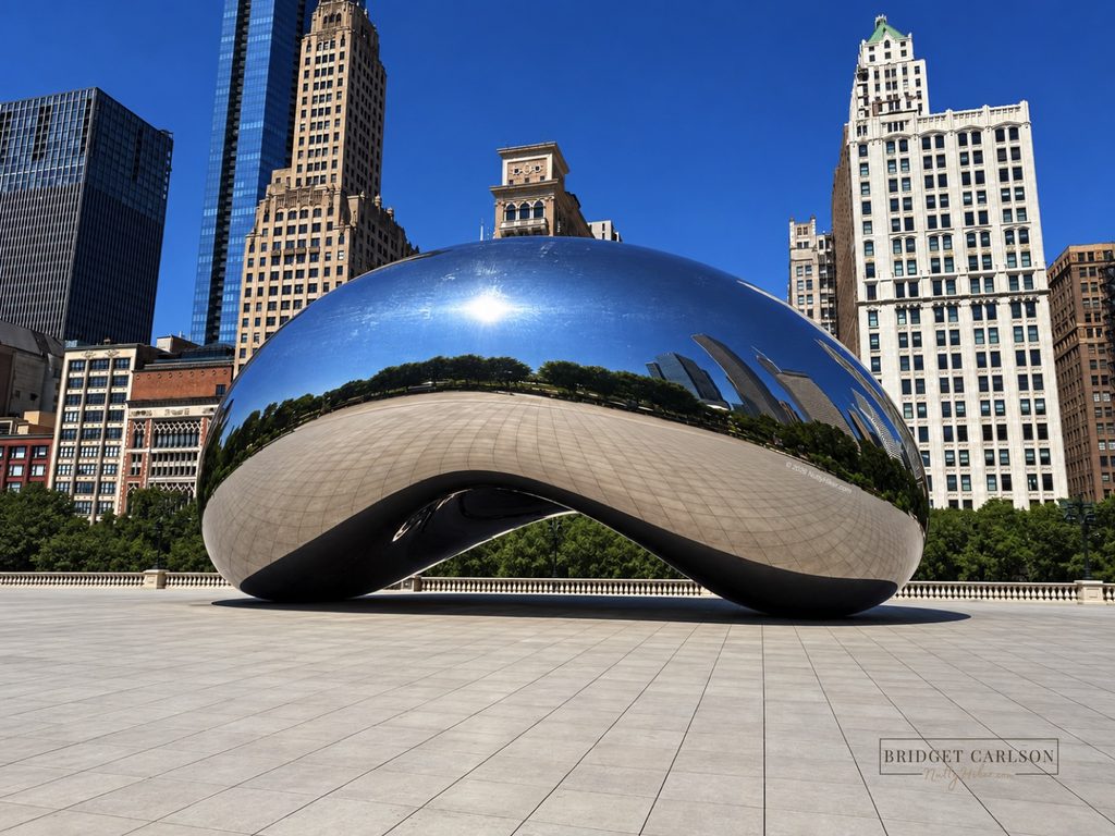
When we got to the street we needed to be on, we took the stairs to the top and crossed over heading into Millennium Park to look for the “bean.” It didn’t take long to spot it. Man, was it busy (I photoshopped all the people out)! We took a quick picture and tried to find our way out of the park.
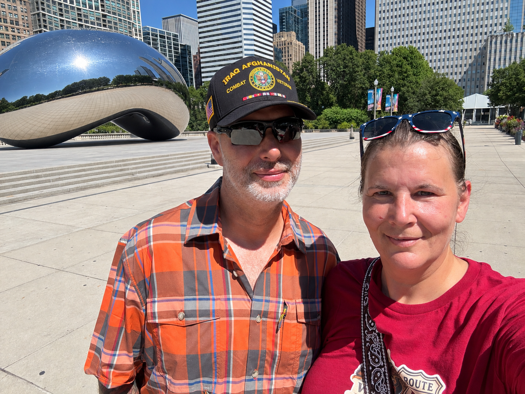
Now it was time to search for the Welcome Center, which was inside Macy’s. Little did I know, it was a scavenger hunt!
Chicago Welcome Center
The welcome center is located inside Macy’s, which is located inside the Marshall Field and Company Building. We assumed this would be a pretty easy find, except the building was HUGE and there were no signs pointing to the visitor center, which turned out to be just a desk.
To make things worse, every employee we asked had no idea there was a welcome center inside!
After about 20 minutes, we finally found it. To make it easier for you to find, you will want to go in the E. Randolph Street entrance. The crazy thing about this is I recorded us and took pictures so I could give you the EXACT location, and those videos and pictures are gone…poof…disappeared.
You’ll soon learn we had a lot of electronic malfunctions during the first 100 miles.
Anyway, we got our stamp and some information and made our way to the official start of Route 66.
The Official Start Sign of the 1926 Alignment
We meandered our way to Wabash and Adams, where the first start sign was placed in the mid-50s. Now before you get confused, let’s talk Chicago Route 66 history.
Short History of Chicago Route 66 Alignments
In 1926, when Route 66 was commissioned, the eastern terminus began and ended at Jackson Blvd and Michigan Ave (where the end sign now stands). In 1937 it was extended to Lake Shore Drive.
However, in 1955, Jackson became an eastbound one-way street, forcing westbound Route 66 traffic to take Adams instead. A new start sign was first placed at Wabash & Adams and then another one at Adams and Michigan, which is the primary photo spot that you see in most photos.
But, we are not done; in 2026, Navy Pier was designated as the new symbolic, ceremonial starting point to create a pier-to-pier connection with the Santa Monica Pier in California; hence, we started at Navy Pier.
Back to the Story
After grabbing a photo with the sign at Wabash & Adams, we headed to Jackson and Michigan and then over to Admans and Michigan. We made a loop around the block to make sure we got all three.
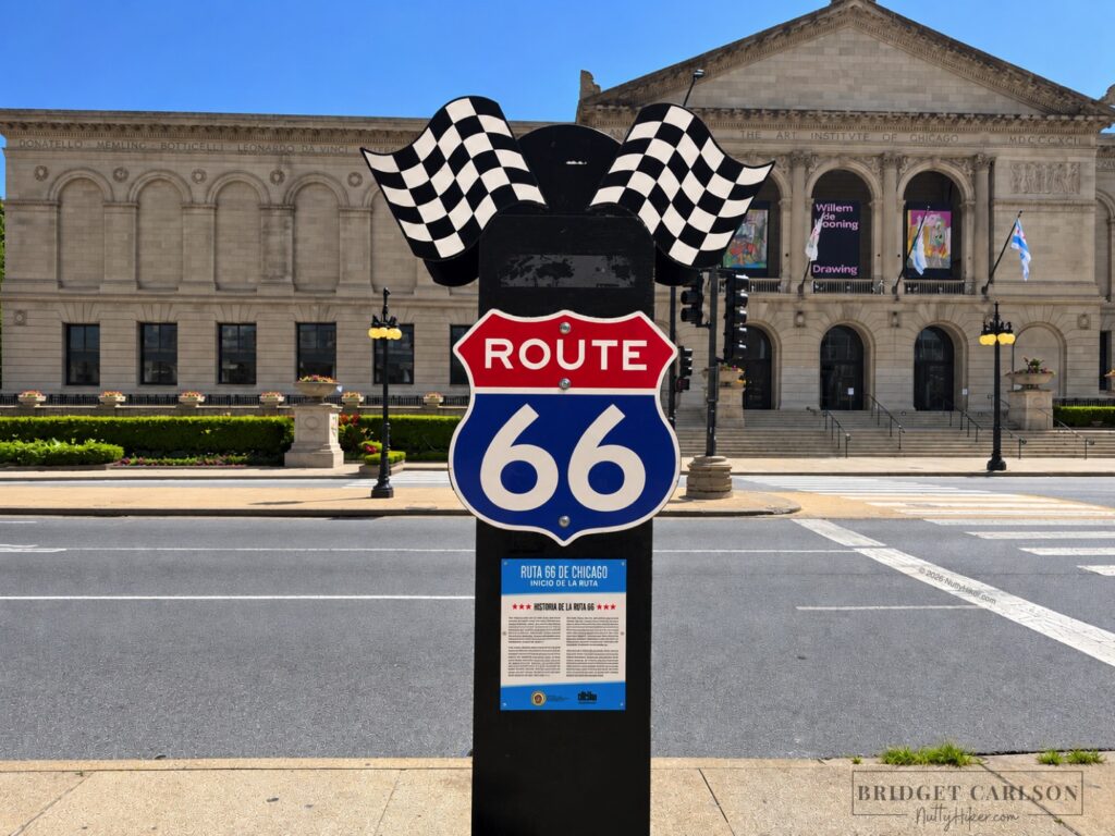
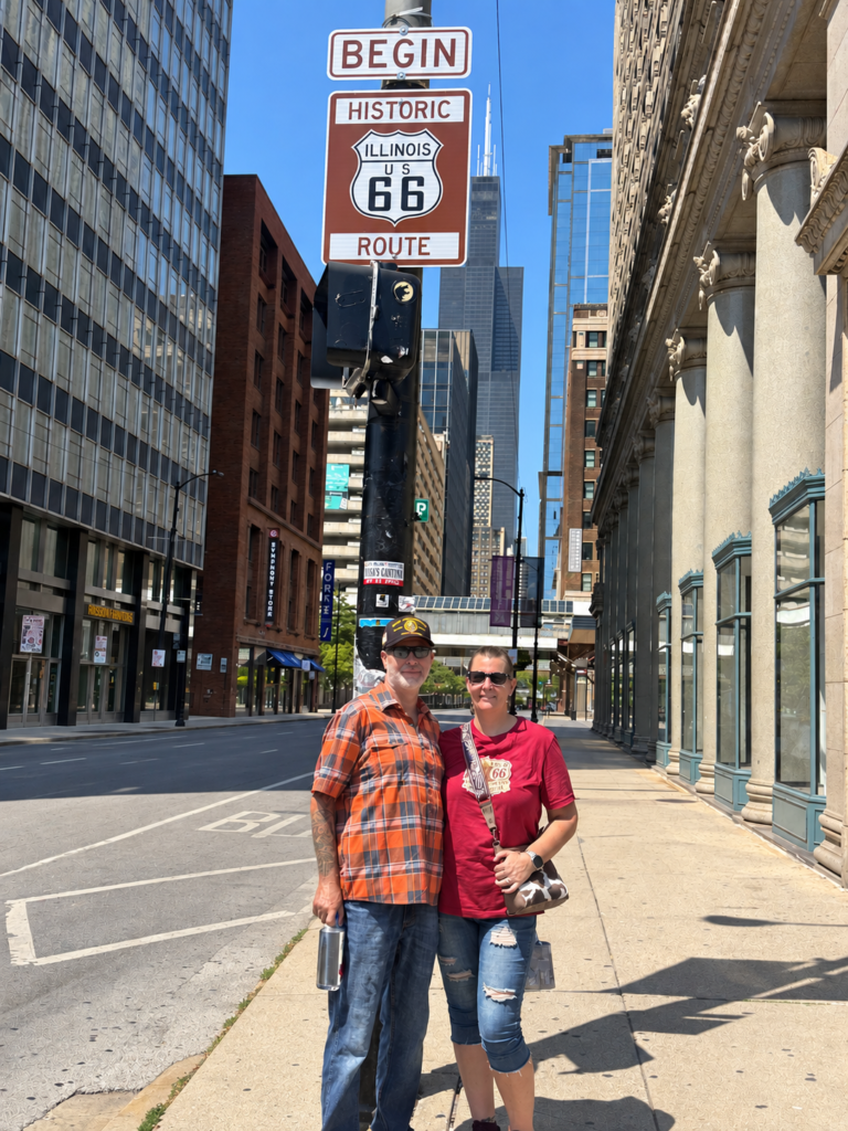
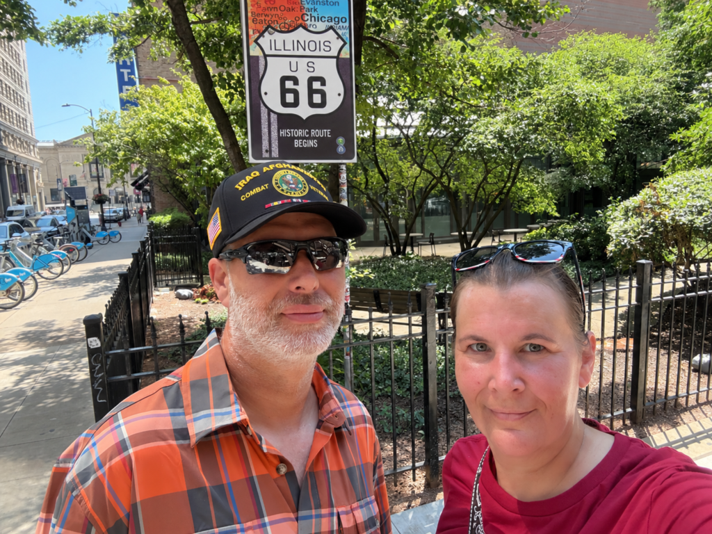
We did not make it to the 1937 sign, as the end sign was technically the alignment we were currently doing. When we do it on the motorcycle, we will start at the 1937 sign.
Once we finished our obligatory pictures, we decided it was time to eat, so we headed off to Lou Mitchell’s.
The Berghoff Restaurant
We first passed by The Berghoff Restaurant, which is one of the oldest restaurants in Chicago and was our first neon sign.
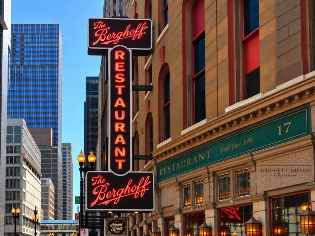
The Berghoff Restaurant was founded in 1898 by German immigrant Herman Berghoff; it started out as a men’s saloon serving up Berghoff beer but quickly became a go-to spot for hearty German dishes and house-brewed beer. The Berghoff survived Prohibition days by serving near beer and sandwiches, and it’s stayed in the Berghoff family ever since.
Adams Street Bridge
We then crossed over the Adams Street bridge and paused for a moment to watch the boats and get some pictures.
The original bridge at this site dates back to the late 1800s, but the current version was completed in 1927, just a year after Route 66 was established. It’s also the first bridge you come to along Route 66 if heading west.
Lou Mitchell’s
We turned at Chicago Union Station and then found our way to Lou Mitchell’s. We were seated right away, but the wait to order and then get our food was very long. The food was spectacular, though, with hefty-sized portions! Don’t forget to get your stamp at the greeting counter when you walk in.
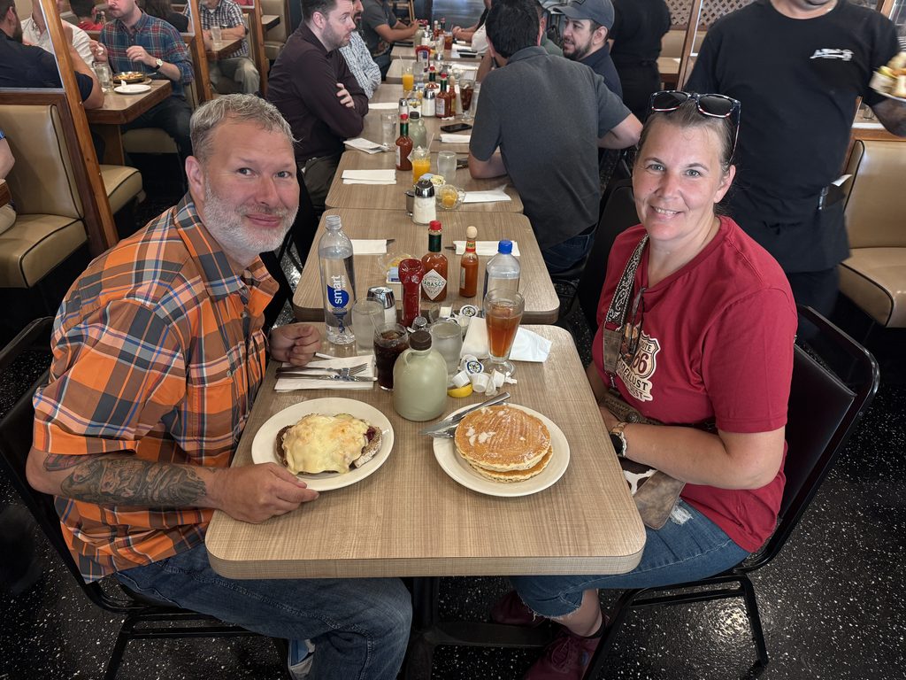
Once we got done eating, we decided to attempt to find the 1937 sign and check out the Married With Children fountain, aka Clarence F. Buckingham Memorial Fountain.
Clarence F. Buckingham Memorial Fountain
Most Gen Xers will recognize this fountain from the intro to Married With Children.
The Clarence F. Buckingham Memorial Fountain was dedicated in 1927 and built by philanthropist Kate Sturges Buckingham in memory of her brother and features four bronze seahorses representing the four states surrounding Lake Michigan. In 1937, Route 66 was extended east through Grant Park toward Lake Shore Drive, bringing Route 66 travelers right past Buckingham Fountain.
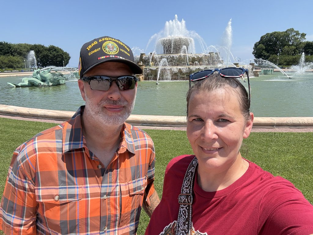
Once we made it close to the fountain, we realized there was a festival going on that had the entire area fenced off. Thankfully, the festival was free, so we headed inside. It wasn’t long before we realized we needed to leave the festival and take a long detour to see the sign.
We were tired, and it was hot (they were under a heat wave), so we opted to just call an Uber and head back to the campsite. We promptly ate dinner and started packing everything up so we could leave out in the morning to start the actual trip.
Journal Entry
Only two stamps collected today.
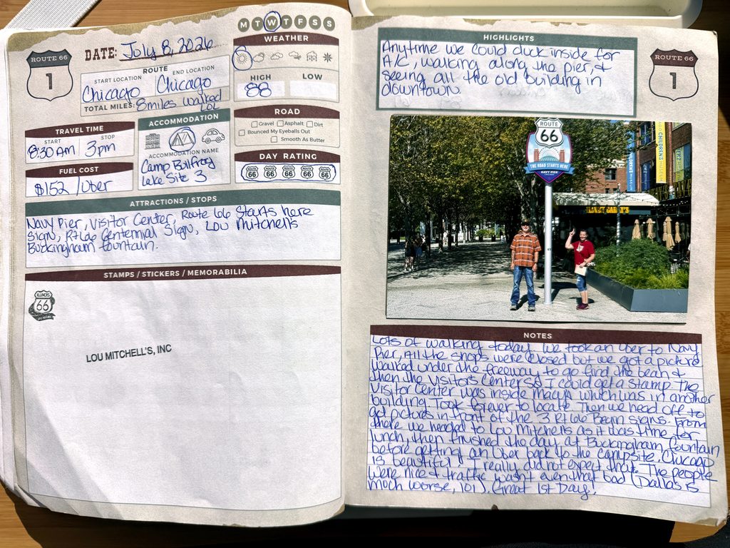
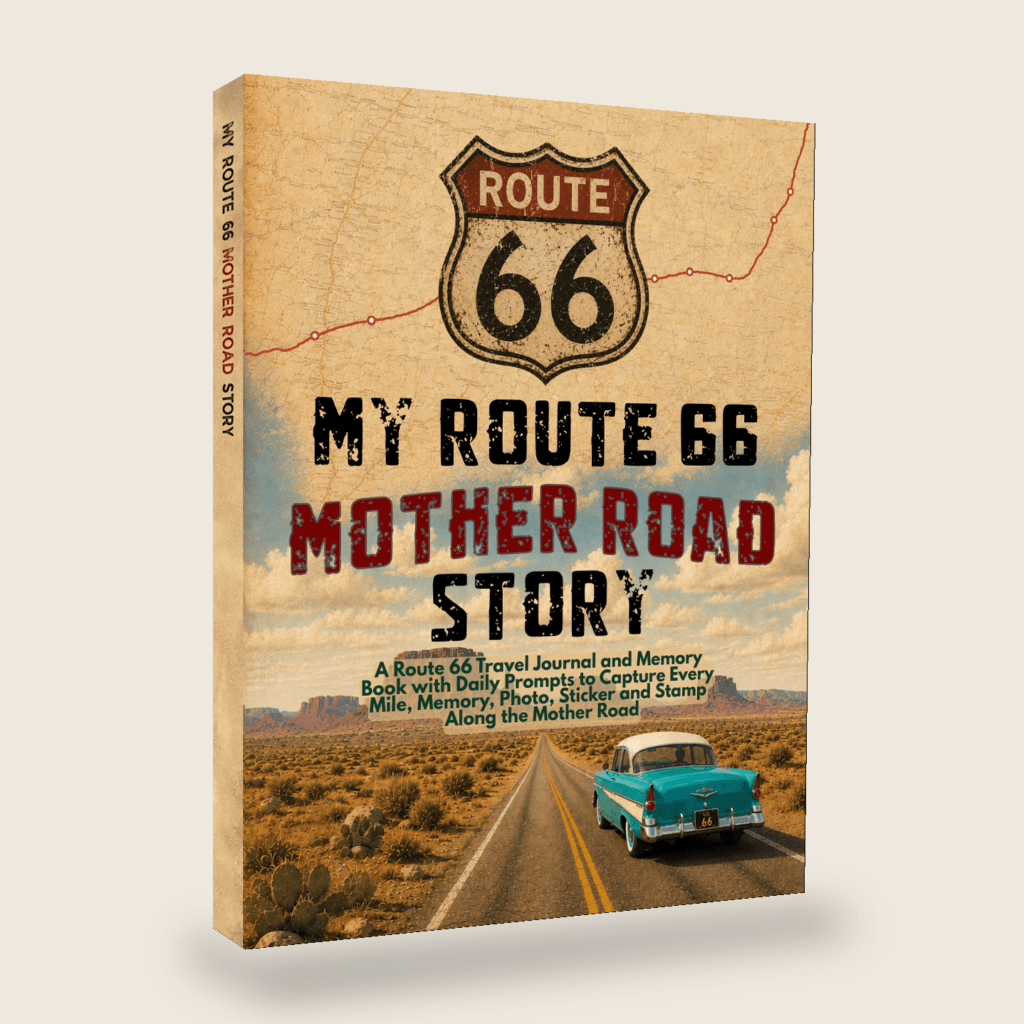
My Route 66 Mother Road Story
A Route 66 Travel Journal and Memory Book with Daily Prompts to Capture Every Mile, Memory, Photo, Sticker, and Stamp Along the Mother Road
Route 66 Day 1 Video
Coming soon! Keep an eye on my YouTube channel, and make sure to subscribe and click the bell to be alerted when I post a video!



Leave a Comment or Suggestion