I found Buttercup Creek Cave Preserve by mistake when I hiked the adjacent Discovery Well Cave Preserve. You can easily connect the two and create a 5+ mile hike. Just like the Discovery Well Cave Preserve the trail system is not well marked and a tad confusing since there are no maps. But who doesn’t like an adventure?!
Parking
Unlike Discovery Well Cave Preserve, there are three ways to access Buttercup Creek Cave Preserve. You can access it from the Ranch at Cypress Creek Park (which is where we parked), at the corner of Hughes Dr & Maurice Drive, and at the corner of Colton Way & Pagedale Drive. Each area only has enough parking for 3 small cars or 2 larger vehicles/trucks. If you are going as a group, carpooling is a must!
Hiking Buttercup Creek Cave Preserve
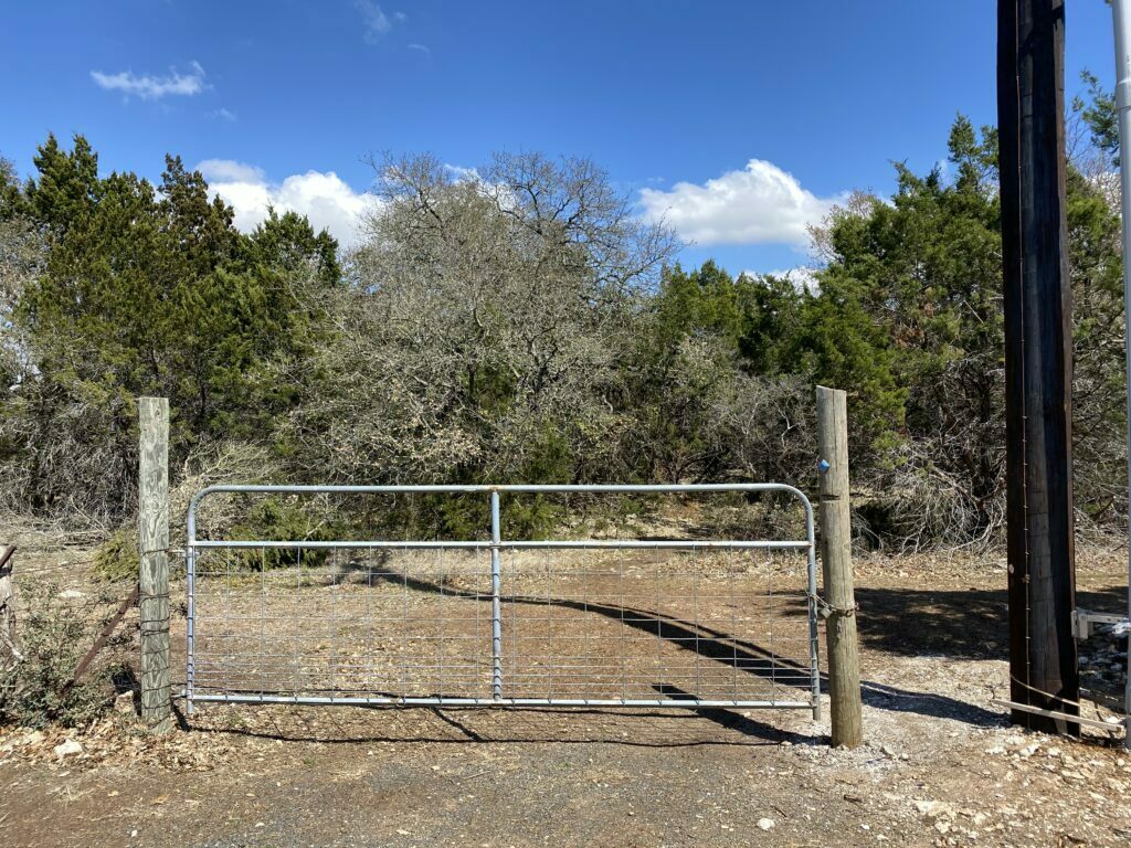
The trail is not marked and there is no real map of the trail system. There are several offshoots from what I have deemed the main trail, so for the most part it is a guessing game.
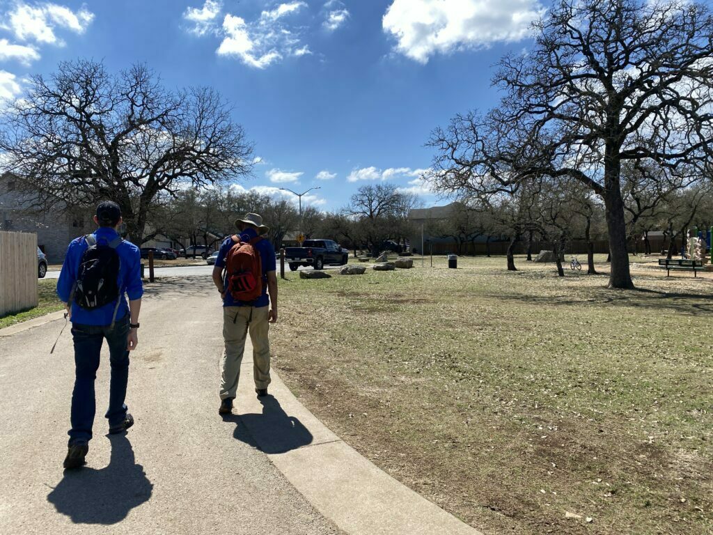
We started from the entrance at the Ranch at Cypress Creek Park. The entrance is to the right of the playground.
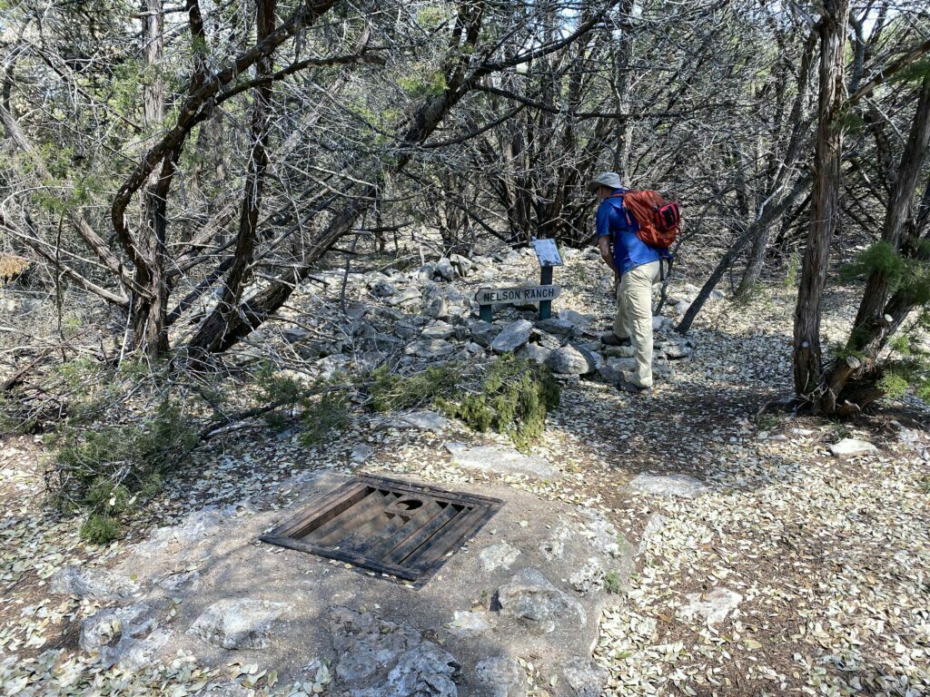
The first cave is almost immediately to your left once you enter the preserve. Like those at the Discovery Well Cave Preserve, they are closed off to the public, and most have an informational sign about them.
For the most part, any time the trail split off (other than the offshoots to the caves) we chose to stay to the right up until you come to the subdivision area.
If you look ahead you will see a red fire hydrant, stay to the trail to the left to continue on and go behind the fire hydrant.
Eventually, we came to another split and decided to stay left, this led us back to the trail at the beginning. We took a right and headed back towards the parking lot.
Total miles was just shy over 1.25, so a very quick hike. But if you include the trails from the Discovery Well Cave Preserve you could probably squeeze out 5 miles altogether.
Video of Our Hike
Buttercup Creek Cave Preserve Information
Address (while this is the official address, you cannot access the preserve from here):
2004 Burnie Bishop Pl, Cedar Park, TX 78613
Trails
From what I could find online there are a total of three trails that total appx. 1.5 miles:
Buttercup Cr. Preserve (0.2)
Treehouse Cave Preserve (0.2)
Cedar Elm/Whitestone Pit Preserve Loop (1.2)
Parking
See the information above for parking areas and access points to the trail system here.
Cost: Free


Discovery Well Cave Preserve is a 100 acre preserve just Northwest if Buttercup Creek but even putting all those together there isn’t much to see so you should definitely hike on over to Lakeline Park. You can cut through the neighborhood and you only have to cross Cypress Creek and a Little Elm without a crossing light.
alltrails.com has a trails map for Buttercup Creek Cave Reserve (Westside Preserve) and Discovery Well Cave Preserve. You can’t print/download it without become a member, but you can get a better idea of the layout, comparing it to Google Maps satellite view. There are more trails than the main ones depicted, but it will give you a good framework.
Thank you for the info! I just looked it up. It’s been about 5 years since I have been out there. Based on their map, it appears that there are many more preserves with trails in the area that you could easily connect by taking short road walks. I may just have to go back out there. I have an app on my phone that allows me to record my treks and make an actual trail map, where I can also show POIs on the map as well as notes and then export it in different formats for others. I still can’t believe, after all this time, that there is no PDF version of the trails that can be downloaded anywhere (other than AllTrails).